February 28-March 1, 1998
We went rather far afield this time, to explore the northern parts of the Baja peninsula. The primary destination was to view algal mats in coastal lagoons there. Algal mats are thought to be one of the ways that life first formed, a community of microbes. We also tried to look for Ammonite fossils that signaled the end of the Cretaceous and others that came in during the Tertiary--in between, of course, would be a K/T boundary. We followed the Arizona and California state lines the first day, visiting the Salton Sea and camping in Anza Borrego State Park. The second day, we headed into Mexico and followed GPS coordinates to the Ammonite fossil spot, but got stuck in the mud for the evening. We beachcombed for fossils and investigated the algal mats on day three, then headed home on day four.
Thanks to David Trilling, Joe Spitale, Eric Wegryn, Peter Lanagan, Cynthia Phillips, and Barb Cohen for pictures!
We traveled as far south as San Antonio del Mar, a coastal area south of Ensenada. We had GPS coordinates of the stops courtesy of the CalTech field trip group, and tried to follow them, but shortly before sunset we traveled over a boggy area and two vans got stuck in the mud. The next day, we explored the beach for gastropods and ammonites, and the K/T boundary between them.
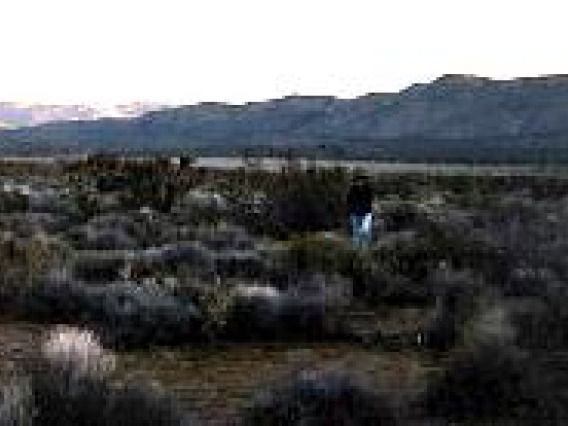
We spent a beautiful night in Anza Borrego State Park, CA, where we discussed the tectonic history of the Baja peninsula.
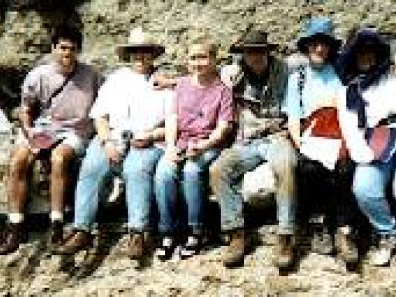
We traveled as far south as San Antonio del Mar, a coastal area south of Ensenada. We had GPS coordinates of the stops courtesy of the CalTech field trip group, and tried to follow them, but shortly before sunset we traveled over a boggy area and two vans got stuck in the mud. Despite being rather unsuccessful in this venture, we did learn a lot about fossils and impacts, and we also had a good time at the beach.
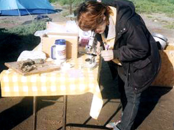
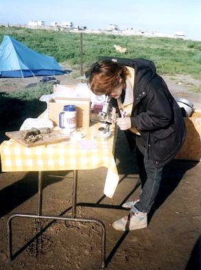
Later on day three, we went a little further south to Laguna Negro, where there are abundant algal mat colonies. The algal mat style of living, with many different kinds of microbes interdepent on one another, is thought to be the oldest way of living on the earth. When algal mats die and are fossilized, they are known as stromatolites. The next morning, we used a small microscope to examine the mat structure and organisms.
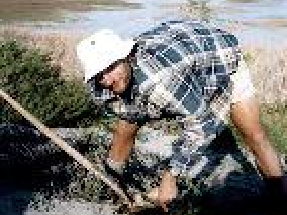
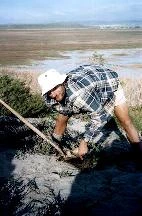
ater on day three, we went a little further south to Laguna Negro, where there are abundant algal mat colonies. The algal mat style of living, with many different kinds of microbes interdepent on one another, is thought to be the oldest way of living on the earth. When algal mats die and are fossilized, they are known as stromatolites. David examines a chunk of the algal mat that Jay dug up.
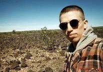
Even our lunch stops were educational. We saw well-developed desert pavement at an I-8 rest stop near Yuma.
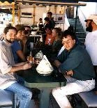
Because of the mud delay, we spent day four just trying to get home. We went by way of San Felipe to see the Colorado River delta and then up to Arizona again. But we did manage to stop for some of Baja's legendary fish tacos. Yum!
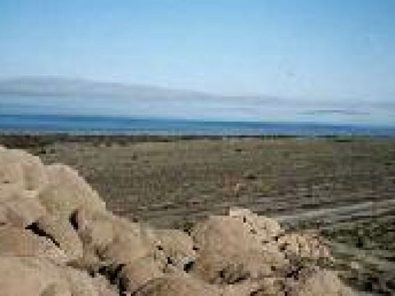
Joe gives us the history and geology of the area: the Salton Sea filled up and evaporated periodically throughout history, as the Colorado River delta silted up and caused the river to seek other drainage routes. In the early 1900's, the area was a playa with a town built on it when the river started flowing into it again. The present Salton Sea is what remains of that last flooding cycle, presumably with the town remains on its floor. Only evaporation is occurring now, and river engineering w
Cynthia and Josh brought a laptop to the campfire to show some really cool animations of colliding and subducting plates.
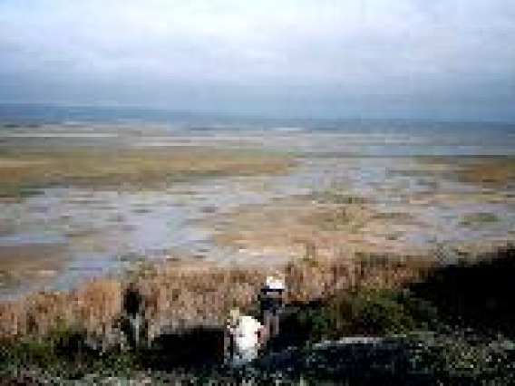
Later on day three, we went a little further south to Laguna Negro, where there are abundant algal mat colonies. The algal mat style of living, with many different kinds of microbes interdepent on one another, is thought to be the oldest way of living on the earth. When algal mats die and are fossilized, they are known as stromatolites. The mats form in shallow, saline lagoons.
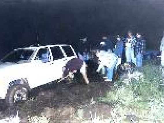
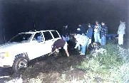
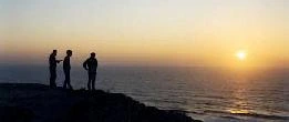
We traveled as far south as San Antonio del Mar, a coastal area south of Ensenada. We had GPS coordinates of the stops courtesy of the CalTech field trip group, and tried to follow them, but shortly before sunset we traveled over a boggy area and two vans got stuck in the mud. As we tried to extricate them, the vans who made it thorough the muddy area enjoyed a Pacific sunset.
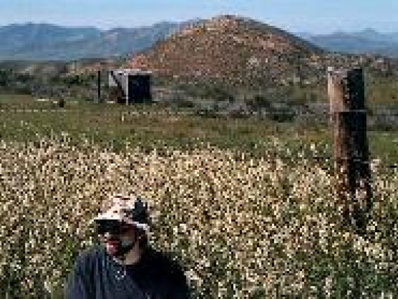
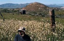
Wildflowers were spectacular because of the El Nino rains, and Pete discussed the nature and evolution of the plant life on the peninsula.
We traveled as far south as San Antonio del Mar, a coastal area south of Ensenada. We had GPS coordinates of the stops courtesy of the CalTech field trip group, and tried to follow them, but shortly before sunset we traveled over a boggy area and two vans got stuck in the mud. As we tried to extricate them, the vans who made it thorough the muddy area enjoyed a Pacific sunset.
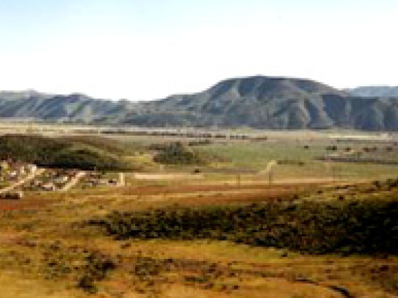
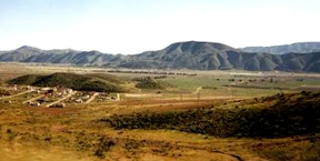
The Trans-Peninsular Mountains run down the western coast of Baja, and were formed in the same way as coastal California's mountains: as the Farallon plate subducted underneath the North American plate, melting and volcanism occured inland, close to the boundary. These volcanoes and plutons form a chain along the coast.
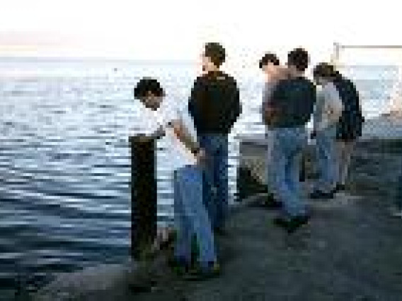
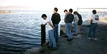
After seeing the Salton Sea from above, we went down to the waterfront. Because it has no outlet, continued evaporation causes the water to become hypersaline. The waterfront is full of dead fish and is quite stinky.


